 vesseltracker.com
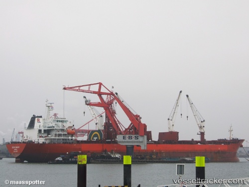
 MOONRISE
Current Status
Where is the vessel?
MOONRISE is currently in Near Barcelona, based on AIS data received about 1h ago.
Latest AIS update:
Current position: 41.31686° N, 2.21037° E (Near Barcelona)
Average speed (last 7 days): Loading…
Average speed (last 30 days): Loading…
Vessel profile: MOONRISE is a Bulk Carrier with dimensions m x m.
This page combines live AIS, route history, probable destination signals, nearby traffic, and port activity for practical vessel monitoring.
The current position of vessel MOONRISE is 41.31686 lat / 2.21037 lng. Updated: 2026-05-14 20:03:25 UTCNearest reference points:
- Near Zona Franca de Barcelona
- Near Barcelona
- Near BADALONA
Currently sailing under the flag of Liberia ![]()
Details:
Live Vessel MOONRISE Analytics (details, animations, etc.)
Recent AIS points (UTC):
2026-05-14 16:15:24 UTC · 41.31851, 2.21711 · SOG 0 kn · COG 262°2026-05-14 17:24:25 UTC · 41.31780, 2.21727 · SOG 0.1 kn · COG 275°
2026-05-14 19:42:20 UTC · 41.31703, 2.21019 · SOG 0 kn · COG 71°
2026-05-14 20:03:25 UTC · 41.31686, 2.21037 · SOG 0 kn · COG 68°