 vesseltracker.com
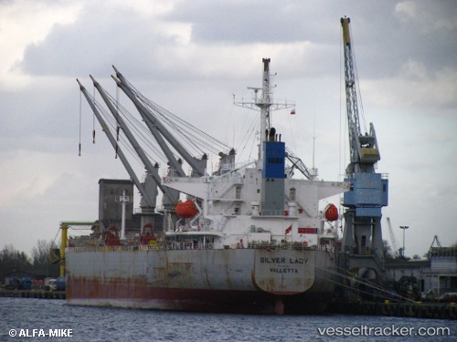
 GLORY LILY
Current Status
Where is the vessel?
GLORY LILY is currently in Near DJEN DJEN, based on AIS data received about 16h ago.
Latest AIS update:
Current position: 36.89169° N, 5.93916° E (Near DJEN DJEN)
Average speed (last 7 days): Loading…
Average speed (last 30 days): Loading…
Vessel profile: GLORY LILY is a Bulk Carrier with dimensions m x m.
This page combines live AIS, route history, probable destination signals, nearby traffic, and port activity for practical vessel monitoring.
The current position of vessel GLORY LILY is 36.89169 lat / 5.93916 lng. Updated: 2026-05-01 04:36:55 UTCNearest reference points:
- Near Carmona
- Near Bejaia
- Near Skikid
Currently sailing under the flag of Liberia ![]()
Details:
Live Vessel GLORY LILY Analytics (details, animations, etc.)
Recent AIS points (UTC):
2026-05-01 04:36:55 UTC · 36.89169, 5.93916 · SOG 10.6 kn · COG 235°2026-05-01 04:36:55 UTC · 36.89169, 5.93916 · SOG 10.6 kn · COG 235°
2026-05-01 04:36:55 UTC · 36.89169, 5.93916 · SOG 10.6 kn · COG 235°
2026-05-01 04:36:55 UTC · 36.89169, 5.93916 · SOG 10.6 kn · COG 235°