 vesseltracker.com
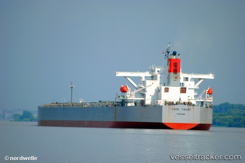
 HIGHLAND
Current Status
Where is the vessel?
HIGHLAND is currently in 64 nm SE of Gonubie, based on AIS data received less than 1h ago.
Latest AIS update:
Current position: 33.56387° S, 29.05413° E (64 nm SE of Gonubie)
Average speed (last 7 days): Loading…
Average speed (last 30 days): Loading…
Vessel profile: HIGHLAND is a Bulk Carrier with dimensions m x m.
This page combines live AIS, route history, probable destination signals, nearby traffic, and port activity for practical vessel monitoring.
The current position of vessel HIGHLAND is -33.56387 lat / 29.05413 lng. Updated: 2026-04-24 03:39:37 UTCNearest reference points:
- 23 nm E of Port Saint John's
Currently sailing under the flag of Liberia ![]()
Details:
Live Vessel HIGHLAND Analytics (details, animations, etc.)
Recent AIS points (UTC):
2026-04-24 00:03:11 UTC · -33.38328, 29.69835 · SOG 9.3 kn · COG 258°2026-04-24 01:36:18 UTC · -33.45865, 29.42238 · SOG 9.4 kn · COG 255°
2026-04-24 02:03:17 UTC · -33.48113, 29.34428 · SOG 9.2 kn · COG 255°
2026-04-24 03:39:37 UTC · -33.56387, 29.05413 · SOG 9.5 kn · COG 256°