 vesseltracker.com
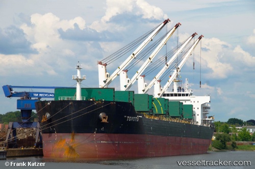
 TOXOTIS
Current Status
Where is the vessel?
TOXOTIS is currently in 49 nm S of Claonaig, based on AIS data received less than 1h ago.
Latest AIS update:
Current position: 54.93258° N, 5.30812° E (49 nm S of Claonaig)
Average speed (last 7 days): Loading…
Average speed (last 30 days): Loading…
Vessel profile: TOXOTIS is a Bulk Carrier with dimensions m x m.
This page combines live AIS, route history, probable destination signals, nearby traffic, and port activity for practical vessel monitoring.
The current position of vessel TOXOTIS is 54.93258 lat / 5.30812 lng. Updated: 2026-05-14 17:23:06 UTCNearest reference points:
- 14 nm NW of Town Quays/Drogheda
- Near HARLINGEN
- Near FRANEKER
Currently sailing under the flag of Liberia ![]()
Details:
Live Vessel TOXOTIS Analytics (details, animations, etc.)
Recent AIS points (UTC):
2026-05-14 13:43:46 UTC · 55.51500, 5.89500 · SOG 11 kn · COG -1°2026-05-14 16:07:55 UTC · 55.12260, 5.51604 · SOG 11.1 kn · COG 208°
2026-05-14 16:16:36 UTC · 55.09985, 5.49226 · SOG 10.9 kn · COG 226°
2026-05-14 17:23:06 UTC · 54.93258, 5.30812 · SOG 10.8 kn · COG 209°