 vesseltracker.com
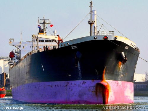
 ILAN
ILAN
Current Status
Where is the vessel?
ILAN is currently in 23 nm SW of Scoglitti, based on AIS data received about 2h ago.
Latest AIS update:
Current position: 36.59208° N, 14.12411° E (23 nm SW of Scoglitti)
Average speed (last 7 days): Loading…
Average speed (last 30 days): Loading…
Vessel profile: ILAN is a Oil Products Tanker with dimensions m x m.
This page combines live AIS, route history, probable destination signals, nearby traffic, and port activity for practical vessel monitoring.
The current position of vessel ILAN is 36.59208 lat / 14.12411 lng. Updated: 2026-05-15 01:17:56 UTCNearest reference points:
- 17 nm S of Marina di Ragusa
- Near Scoglitti
- Near Gela
Currently sailing under the flag of Liberia ![]()
Details:
Live Vessel ILAN Analytics (details, animations, etc.)
Recent AIS points (UTC):
2026-05-14 21:58:57 UTC · 36.42414, 14.90476 · SOG 11.6 kn · COG 272°2026-05-14 22:36:27 UTC · 36.41901, 14.75500 · SOG 11.9 kn · COG 274°
2026-05-14 23:56:58 UTC · 36.48783, 14.43882 · SOG 12.1 kn · COG 294°
2026-05-15 01:17:56 UTC · 36.59208, 14.12411 · SOG 12.2 kn · COG 291°