 vesseltracker.com
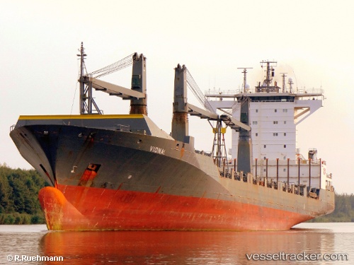
 QUEEN B III
Current Status
Where is the vessel?
QUEEN B III is currently in Near Port Manatee, based on AIS data received about 1h ago.
Latest AIS update:
Current position: 27.63494° N, 82.56172° W (Near Port Manatee)
Average speed (last 7 days): Loading…
Average speed (last 30 days): Loading…
Vessel profile: QUEEN B III is a Container Ship with dimensions m x m.
This page combines live AIS, route history, probable destination signals, nearby traffic, and port activity for practical vessel monitoring.
The current position of vessel QUEEN B III is 27.63494 lat / -82.56172 lng. Updated: 2026-05-16 17:47:11 UTCNearest reference points:
- Near Port Manatee
- Near Memphis
- Near Bradenton
Currently sailing under the flag of Liberia ![]()
Details:
Live Vessel QUEEN B III Analytics (details, animations, etc.)
Recent AIS points (UTC):
2026-05-16 13:52:01 UTC · 27.63494, -82.56172 · SOG 0 kn · COG 270°2026-05-16 15:21:57 UTC · 27.63494, -82.56172 · SOG 0 kn · COG 271°
2026-05-16 16:17:10 UTC · 27.63494, -82.56170 · SOG 0 kn · COG 270°
2026-05-16 17:47:11 UTC · 27.63494, -82.56172 · SOG 0 kn · COG 270°