 vesseltracker.com
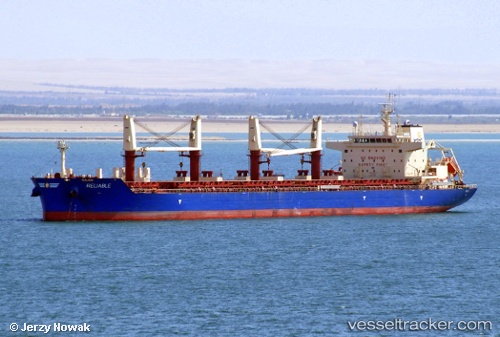
 RELIABLE
Current Status
Where is the vessel?
RELIABLE is currently in 62 nm S of Port Eads, based on AIS data received about 2h ago.
Latest AIS update:
Current position: 28.02782° N, 88.77355° W (62 nm S of Port Eads)
Average speed (last 7 days): Loading…
Average speed (last 30 days): Loading…
Vessel profile: RELIABLE is a Cargo with dimensions m x m.
This page combines live AIS, route history, probable destination signals, nearby traffic, and port activity for practical vessel monitoring.
The current position of vessel RELIABLE is 28.02782 lat / -88.77355 lng. Updated: 2026-05-15 16:26:36 UTCNearest reference points:
- Near Pilottown
- 13 nm NE of Pilottown
- Near Port Sulphur
Currently sailing under the flag of Liberia ![]()
Details:
Live Vessel RELIABLE Analytics (details, animations, etc.)
Recent AIS points (UTC):
2026-05-15 13:40:35 UTC · 28.46271, -89.14078 · SOG 12 kn · COG 139°2026-05-15 15:33:15 UTC · 28.17230, -88.88264 · SOG 11.6 kn · COG 146°
2026-05-15 15:33:15 UTC · 28.17230, -88.88264 · SOG 11.6 kn · COG 146°
2026-05-15 16:26:36 UTC · 28.02782, -88.77355 · SOG 11.8 kn · COG 143°