 vesseltracker.com
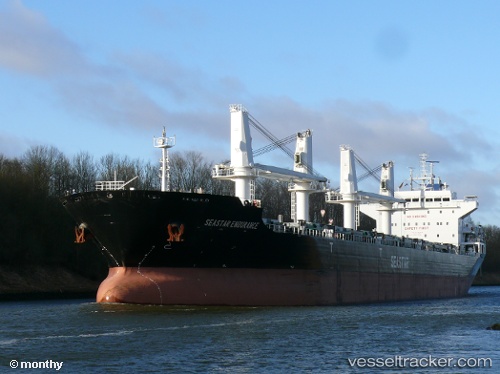
 STAR ALLIANCE
Current Status
Where is the vessel?
STAR ALLIANCE is currently in 81 nm W of Koiingnaas, based on AIS data received less than 1h ago.
Latest AIS update:
Current position: 29.72167° S, 15.83667° E (81 nm W of Koiingnaas)
Average speed (last 7 days): Loading…
Average speed (last 30 days): Loading…
Vessel profile: STAR ALLIANCE is a Bulk Carrier with dimensions m x m.
This page combines live AIS, route history, probable destination signals, nearby traffic, and port activity for practical vessel monitoring.
The current position of vessel STAR ALLIANCE is -29.72167 lat / 15.83667 lng. Updated: 2026-04-26 22:40:34 UTCNearest reference points:
- 161 nm W of Koiingnaas
- 154 nm W of Koiingnaas
- 167 nm SW of Koiingnaas
Currently sailing under the flag of Liberia ![]()
Details:
Live Vessel STAR ALLIANCE Analytics (details, animations, etc.)
Recent AIS points (UTC):
2026-04-26 19:44:23 UTC · -30.25321, 16.06657 · SOG 12.4 kn · COG -1°2026-04-26 20:09:28 UTC · -30.17270, 16.03602 · SOG 12 kn · COG -1°
2026-04-26 22:13:35 UTC · -29.80167, 15.87500 · SOG 11 kn · COG -1°
2026-04-26 22:40:34 UTC · -29.72167, 15.83667 · SOG 11 kn · COG -1°