 vesseltracker.com
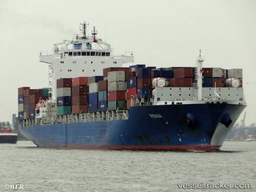
 RIO KOBE
Current Status
Where is the vessel?
RIO KOBE is currently in 46 nm SE of Lü-hua Shan, based on AIS data received less than 1h ago.
Latest AIS update:
Current position: 30.32061° N, 123.29056° E (46 nm SE of Lü-hua Shan)
Average speed (last 7 days): Loading…
Average speed (last 30 days): Loading…
Vessel profile: RIO KOBE is a Container Ship with dimensions m x m.
This page combines live AIS, route history, probable destination signals, nearby traffic, and port activity for practical vessel monitoring.
The current position of vessel RIO KOBE is 30.32061 lat / 123.29056 lng. Updated: 2026-04-30 12:15:42 UTCNearest reference points:
- 50 nm SE of Lü-hua Shan
- 51 nm SE of Lü-hua Shan
- 37 nm SE of Lü-hua Shan
Currently sailing under the flag of Liberia ![]()
Details:
Live Vessel RIO KOBE Analytics (details, animations, etc.)
Recent AIS points (UTC):
2026-04-30 07:27:42 UTC · 30.31976, 123.29225 · SOG 0.5 kn · COG 355°2026-04-30 09:42:43 UTC · 30.31977, 123.29130 · SOG 0.1 kn · COG 11°
2026-04-30 10:15:42 UTC · 30.31990, 123.29083 · SOG 0.1 kn · COG 22°
2026-04-30 12:15:42 UTC · 30.32061, 123.29056 · SOG 0 kn · COG 56°