 vesseltracker.com
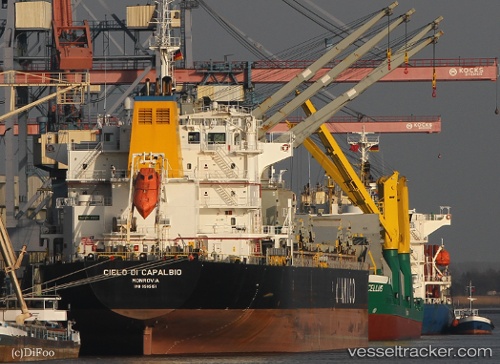
 TRANSBALTIC
Current Status
Where is the vessel?
TRANSBALTIC is currently in 107 nm E of Alozaina, based on AIS data received about 2h ago.
Latest AIS update:
Current position: 36.73361° N, 12.63507° W (107 nm E of Alozaina)
Average speed (last 7 days): Loading…
Average speed (last 30 days): Loading…
Vessel profile: TRANSBALTIC is a Bulk Carrier with dimensions m x m.
This page combines live AIS, route history, probable destination signals, nearby traffic, and port activity for practical vessel monitoring.
The current position of vessel TRANSBALTIC is 36.73361 lat / -12.63507 lng. Updated: 2026-04-24 18:59:29 UTCNearest reference points:
- 74 nm E of Alozaina
- 118 nm NE of Nedroma
- 116 nm NE of Nedroma
Currently sailing under the flag of Liberia ![]()
Details:
Live Vessel TRANSBALTIC Analytics (details, animations, etc.)
Recent AIS points (UTC):
2026-04-24 15:37:00 UTC · 36.63859, -11.80905 · SOG 12.2 kn · COG 279°2026-04-24 17:33:59 UTC · 36.69055, -12.28610 · SOG 12 kn · COG 278°
2026-04-24 18:59:29 UTC · 36.73361, -12.63507 · SOG 11.6 kn · COG 278°
2026-04-24 18:59:29 UTC · 36.73361, -12.63507 · SOG 11.6 kn · COG 278°