 vesseltracker.com
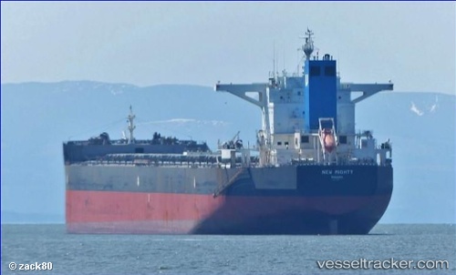
 HL GLADSTONE
Current Status
Where is the vessel?
HL GLADSTONE is currently in 199 nm E of Fort Dauphin, based on AIS data received less than 1h ago.
Latest AIS update:
Current position: 24.72250° S, 50.66236° E (199 nm E of Fort Dauphin)
Average speed (last 7 days): Loading…
Average speed (last 30 days): Loading…
Vessel profile: HL GLADSTONE is a Bulk Carrier with dimensions m x m.
This page combines live AIS, route history, probable destination signals, nearby traffic, and port activity for practical vessel monitoring.
The current position of vessel HL GLADSTONE is -24.72250 lat / 50.66236 lng. Updated: 2026-04-27 08:19:35 UTCNearest reference points:
- 209 nm E of Manakara
- 194 nm E of Manakara
- 271 nm E of Fort Dauphin
Currently sailing under the flag of Liberia ![]()
Details:
Live Vessel HL GLADSTONE Analytics (details, animations, etc.)
Recent AIS points (UTC):
2026-04-27 04:06:37 UTC · -24.26014, 51.52797 · SOG 13.4 kn · COG 240°2026-04-27 05:40:56 UTC · -24.43331, 51.18786 · SOG 13.2 kn · COG 240°
2026-04-27 07:44:43 UTC · -24.66042, 50.76772 · SOG 12 kn · COG 239°
2026-04-27 08:19:35 UTC · -24.72250, 50.66236 · SOG 11.8 kn · COG 243°