 vesseltracker.com
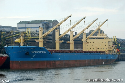
 Nordic Alianca
Current Status
Where is the vessel?
Nordic Alianca is currently in 140 nm NW of Victoria, based on AIS data received about 1h ago.
Latest AIS update:
Current position: 3.24366° S, 53.58354° E (140 nm NW of Victoria)
Average speed (last 7 days): Loading…
Average speed (last 30 days): Loading…
Vessel profile: Nordic Alianca is a Bulk Carrier with dimensions 180m x 30m.
This page combines live AIS, route history, probable destination signals, nearby traffic, and port activity for practical vessel monitoring.
The current position of vessel Nordic Alianca is -3.24366 lat / 53.58354 lng. Updated: 2026-04-26 02:10:49 UTCNearest reference points:
- Near Mahé Island Apt
- Near Ile Desroches
Currently sailing under the flag of Liberia ![]()
Details:
Live Vessel Nordic Alianca Analytics (details, animations, etc.)
Recent AIS points (UTC):
2026-04-25 22:56:19 UTC · -3.69529, 53.18451 · SOG 10.8 kn · COG 41°2026-04-25 23:23:38 UTC · -3.63428, 53.23864 · SOG 10.8 kn · COG 40°
2026-04-26 02:10:49 UTC · -3.24366, 53.58354 · SOG 11.5 kn · COG 30°
2026-04-26 02:10:49 UTC · -3.24366, 53.58354 · SOG 11.5 kn · COG 30°