 vesseltracker.com
 CONTI MAKALU
Current Status
Where is the vessel?
CONTI MAKALU is currently in Near Mundra, based on AIS data received less than 1h ago.
Latest AIS update:
Current position: 22.68441° N, 69.78926° E (Near Mundra)
Average speed (last 7 days): Loading…
Average speed (last 30 days): Loading…
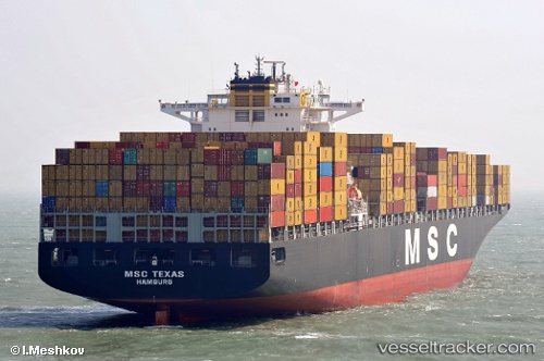
Vessel profile: CONTI MAKALU is a Container Ship with dimensions 43m x 334m.
This page combines live AIS, route history, probable destination signals, nearby traffic, and port activity for practical vessel monitoring.
The current position of vessel CONTI MAKALU is 22.68441 lat / 69.78926 lng. Updated: 2026-05-14 13:17:28 UTCNearest reference points:
- Near Mundra
- Near SIKKA
- Near Sika
Currently sailing under the flag of Liberia ![]()
CONTI MAKALU built in 2004 year
Deadweight:
101898 tDetails:
Live Vessel CONTI MAKALU Analytics (details, animations, etc.)
Recent AIS points (UTC):
2026-05-14 09:56:27 UTC · 22.68167, 69.78550 · SOG 0.2 kn · COG 347°2026-05-14 10:26:28 UTC · 22.68184, 69.78415 · SOG 0.1 kn · COG 356°
2026-05-14 12:27:33 UTC · 22.68302, 69.78868 · SOG 0.3 kn · COG 311°
2026-05-14 13:17:28 UTC · 22.68441, 69.78926 · SOG 0.1 kn · COG 263°