 vesseltracker.com
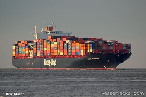
 NAGOYA EXPRESS
Current Status
Where is the vessel?
NAGOYA EXPRESS is currently in 185 nm N of Fernando De Noronha, based on AIS data received less than 1h ago.
Latest AIS update:
Current position: 0.74746° S, 32.39533° W (185 nm N of Fernando De Noronha)
Average speed (last 7 days): Loading…
Average speed (last 30 days): Loading…
Vessel profile: NAGOYA EXPRESS is a Container Ship with dimensions m x m.
This page combines live AIS, route history, probable destination signals, nearby traffic, and port activity for practical vessel monitoring.
The current position of vessel NAGOYA EXPRESS is -0.74746 lat / -32.39533 lng. Updated: 2026-05-15 05:29:10 UTCCurrently sailing under the flag of Liberia ![]()
Details:
Live Vessel NAGOYA EXPRESS Analytics (details, animations, etc.)
Recent AIS points (UTC):
2026-05-14 23:50:02 UTC · 0.33073, -33.58716 · SOG 17.1 kn · COG 133°2026-05-15 03:26:08 UTC · -0.34619, -32.82801 · SOG 17.1 kn · COG 133°
2026-05-15 04:55:17 UTC · -0.63715, -32.51609 · SOG 17 kn · COG 136°
2026-05-15 05:29:10 UTC · -0.74746, -32.39533 · SOG 17.1 kn · COG 133°