 vesseltracker.com
 BETA 2
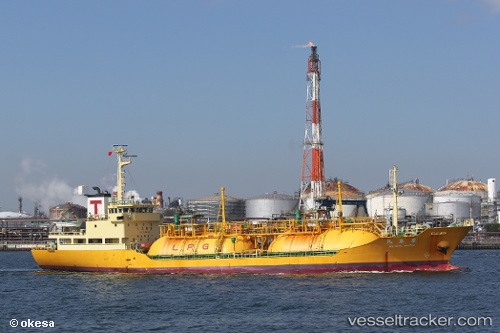
Current Status
Where is the vessel?
BETA 2 is currently in 16 nm NW of Free Port, based on AIS data received about 1h ago.
Latest AIS update:
Current position: 25.41877° N, 55.03330° E (16 nm NW of Free Port)
Average speed (last 7 days): Loading…
Average speed (last 30 days): Loading…
Vessel profile: BETA 2 is a Lpg Tanker with dimensions m x m.
This page combines live AIS, route history, probable destination signals, nearby traffic, and port activity for practical vessel monitoring.
The current position of vessel BETA 2 is 25.41877 lat / 55.03330 lng. Updated: 2026-04-24 11:58:27 UTCNearest reference points:
- 17 nm NW of Free Port
- Near Free Port
- Near DUBAI
Currently sailing under the flag of Mali ![]()
Details:
Live Vessel BETA 2 Analytics (details, animations, etc.)
Recent AIS points (UTC):
2026-04-24 07:57:29 UTC · 25.41959, 55.03300 · SOG 0 kn · COG 209°2026-04-24 09:55:40 UTC · 25.41960, 55.03289 · SOG 0 kn · COG 198°
2026-04-24 10:19:34 UTC · 25.41959, 55.03285 · SOG 0 kn · COG 194°
2026-04-24 11:58:27 UTC · 25.41877, 55.03330 · SOG 0.2 kn · COG 301°