 vesseltracker.com
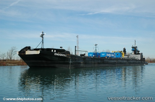
Karen Andrie
Current StatusWhere is the vessel?
Karen Andrie is currently in 14 nm W of Benzonia, based on AIS data received about 1h ago.
Latest AIS update:
Current position: 44.68093° N, 86.39044° W (14 nm W of Benzonia)
Average speed (last 7 days): Loading…
Average speed (last 30 days): Loading…
Vessel profile: Karen Andrie is a Tug with dimensions 18m x 34m.
This page combines live AIS, route history, probable destination signals, nearby traffic, and port activity for practical vessel monitoring.
The current position of vessel Karen Andrie is 44.68093 lat / -86.39044 lng. Updated: 2026-05-17 06:54:10 UTCNearest reference points:
- 12 nm NE of Brussels
- Near Pentwater
- Near Mackinaw City
Details:
Live Vessel Karen Andrie Analytics (details, animations, etc.)
Recent AIS points (UTC):
2026-05-17 05:14:50 UTC · 44.40989, -86.48628 · SOG 10.1 kn · COG 12°2026-05-17 05:42:31 UTC · 44.48563, -86.45995 · SOG 10.1 kn · COG 14°
2026-05-17 06:54:10 UTC · 44.68093, -86.39044 · SOG 10 kn · COG 15°
2026-05-17 06:54:10 UTC · 44.68093, -86.39044 · SOG 10 kn · COG 15°