 vesseltracker.com
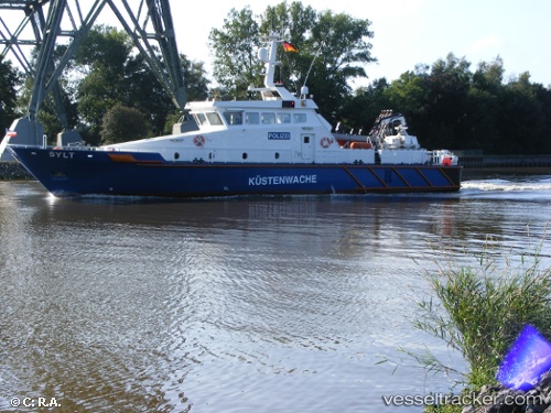
Sylt
Current StatusWhere is the vessel?
Sylt is currently in 87 nm S of BITUNG, based on AIS data received about 100d ago.
Latest AIS update:
Current position: 0.00001° N, 125.40416° E (87 nm S of BITUNG)
Average speed (last 7 days): Loading…
Average speed (last 30 days): Loading…
Vessel profile: Sylt is a Oil Products Tanker with dimensions 14m x 97m.
This page combines live AIS, route history, probable destination signals, nearby traffic, and port activity for practical vessel monitoring.
The current position of vessel Sylt is 0.00001 lat / 125.40416 lng. Updated: 2026-02-03 22:14:47 UTCNearest reference points:
- Near BITUNG
- 69 nm NW of Wainibe
- Near TERNATE
Details:
Live Vessel Sylt Analytics (details, animations, etc.)
Recent AIS points (UTC):
2026-02-03 22:14:47 UTC · 0.00001, 125.40416 · SOG 52.6 kn · COG 1°