 vesseltracker.com
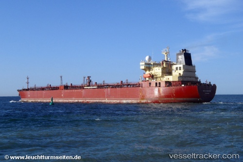
 SAVITRI
Current Status
Where is the vessel?
SAVITRI is currently in 65 nm SE of Barra de Santo Antonio, based on AIS data received less than 1h ago.
Latest AIS update:
Current position: 10.16333° S, 34.71167° W (65 nm SE of Barra de Santo Antonio)
Average speed (last 7 days): Loading…
Average speed (last 30 days): Loading…
Vessel profile: SAVITRI is a Oil Products Tanker with dimensions m x m.
This page combines live AIS, route history, probable destination signals, nearby traffic, and port activity for practical vessel monitoring.
The current position of vessel SAVITRI is -10.16333 lat / -34.71167 lng. Updated: 2026-05-14 22:26:42 UTCNearest reference points:
- 157 nm SE of Maceio
- Near Suape
- Near Boa Viagem
Currently sailing under the flag of Sierra Leone ![]()
Details:
Live Vessel SAVITRI Analytics (details, animations, etc.)
Recent AIS points (UTC):
2026-05-14 19:26:43 UTC · -10.87167, -34.88667 · SOG 14 kn · COG -1°2026-05-14 19:44:41 UTC · -10.80166, -34.86500 · SOG 14 kn · COG -1°
2026-05-14 21:41:41 UTC · -10.34167, -34.75167 · SOG 14 kn · COG -1°
2026-05-14 22:26:42 UTC · -10.16333, -34.71167 · SOG 14 kn · COG -1°