 vesseltracker.com
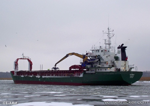
 AB HEIDI
Current Status
Where is the vessel?
AB HEIDI is currently in Near Gelibolu, based on AIS data received about 1h ago.
Latest AIS update:
Current position: 40.45855° N, 26.84775° E (Near Gelibolu)
Average speed (last 7 days): Loading…
Average speed (last 30 days): Loading…
Vessel profile: AB HEIDI is a General Cargo with dimensions m x m.
This page combines live AIS, route history, probable destination signals, nearby traffic, and port activity for practical vessel monitoring.
The current position of vessel AB HEIDI is 40.45855 lat / 26.84775 lng. Updated: 2026-05-13 21:34:12 UTCNearest reference points:
- Near Sarköy
- Near Gelibolu
- Near Dardanelles
Currently sailing under the flag of Sierra Leone ![]()
Details:
Live Vessel AB HEIDI Analytics (details, animations, etc.)
Recent AIS points (UTC):
2026-05-13 18:19:43 UTC · 40.17403, 26.39386 · SOG 9 kn · COG 351°2026-05-13 19:17:44 UTC · 40.25012, 26.52379 · SOG 8.8 kn · COG 52°
2026-05-13 20:16:43 UTC · 40.35314, 26.65811 · SOG 8.9 kn · COG 36°
2026-05-13 21:34:12 UTC · 40.45855, 26.84775 · SOG 8.4 kn · COG 69°