 vesseltracker.com
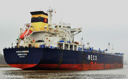
 C VIKING
Current Status
Where is the vessel?
C VIKING is currently in 28 nm E of Claonaig, based on AIS data received about 1h ago.
Latest AIS update:
Current position: 55.87438° N, 6.18158° E (28 nm E of Claonaig)
Average speed (last 7 days): Loading…
Average speed (last 30 days): Loading…
Vessel profile: C VIKING is a Oil/Chemical Tanker with dimensions m x m.
This page combines live AIS, route history, probable destination signals, nearby traffic, and port activity for practical vessel monitoring.
The current position of vessel C VIKING is 55.87438 lat / 6.18158 lng. Updated: 2026-05-02 13:04:55 UTCNearest reference points:
- 36 nm W of HVIDE SANDE
- Near Blavand
- 14 nm NW of Town Quays/Drogheda
Currently sailing under the flag of Sierra Leone ![]()
Details:
Live Vessel C VIKING Analytics (details, animations, etc.)
Recent AIS points (UTC):
2026-05-02 10:41:24 UTC · 56.30741, 6.59701 · SOG 12.5 kn · COG 211°2026-05-02 12:00:16 UTC · 56.06946, 6.36171 · SOG 12.2 kn · COG 211°
2026-05-02 13:04:55 UTC · 55.87438, 6.18158 · SOG 12.2 kn · COG 212°
2026-05-02 13:04:55 UTC · 55.87438, 6.18158 · SOG 12.2 kn · COG 212°