 vesseltracker.com
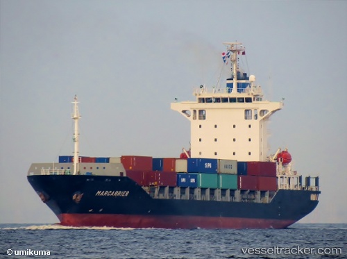
 EKATERINA
Current Status
Where is the vessel?
EKATERINA is currently in 229 nm SE of SUR, based on AIS data received about 2h ago.
Latest AIS update:
Current position: 20.78263° N, 63.14870° E (229 nm SE of SUR)
Average speed (last 7 days): Loading…
Average speed (last 30 days): Loading…
Vessel profile: EKATERINA is a Container Ship with dimensions m x m.
This page combines live AIS, route history, probable destination signals, nearby traffic, and port activity for practical vessel monitoring.
The current position of vessel EKATERINA is 20.78263 lat / 63.14870 lng. Updated: 2026-05-14 19:18:12 UTCNearest reference points:
- 262 nm SE of SUR
- 224 nm E of SUR
- 231 nm SW of Keti Bandar
Currently sailing under the flag of Sierra Leone ![]()
Details:
Live Vessel EKATERINA Analytics (details, animations, etc.)
Recent AIS points (UTC):
2026-05-14 15:02:04 UTC · 20.98270, 63.97277 · SOG 11.6 kn · COG 256°2026-05-14 19:02:11 UTC · 20.79615, 63.19923 · SOG 11.1 kn · COG 256°
2026-05-14 19:18:12 UTC · 20.78263, 63.14870 · SOG 11 kn · COG 256°
2026-05-14 19:18:12 UTC · 20.78263, 63.14870 · SOG 11 kn · COG 256°