 vesseltracker.com
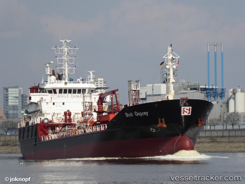
 THEIA
THEIA
Current Status
Where is the vessel?
THEIA is currently in Near Cimdenieki, based on AIS data received less than 1h ago.
Latest AIS update:
Current position: 56.54664° N, 21.03845° E (Near Cimdenieki)
Average speed (last 7 days): Loading…
Average speed (last 30 days): Loading…
Vessel profile: THEIA is a Oil/Chemical Tanker with dimensions m x m.
This page combines live AIS, route history, probable destination signals, nearby traffic, and port activity for practical vessel monitoring.
The current position of vessel THEIA is 56.54664 lat / 21.03845 lng. Updated: 2026-05-01 11:34:47 UTCNearest reference points:
- Near Cimdenieki
- Near Klaipeda
- Near Ventspils
Currently sailing under the flag of Sierra Leone ![]()
Details:
Live Vessel THEIA Analytics (details, animations, etc.)
Recent AIS points (UTC):
2026-05-01 08:22:45 UTC · 56.54670, 21.03832 · SOG 0 kn · COG 186°2026-05-01 09:52:48 UTC · 56.54666, 21.03844 · SOG 0 kn · COG 186°
2026-05-01 10:46:52 UTC · 56.54664, 21.03852 · SOG 0 kn · COG 186°
2026-05-01 11:34:47 UTC · 56.54664, 21.03845 · SOG 0 kn · COG 186°