 vesseltracker.com
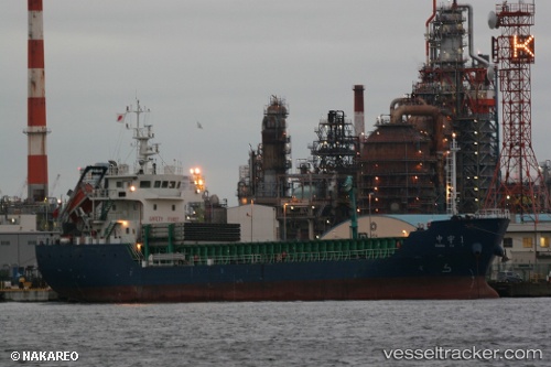
 DE MI
DE MI
Current Status
Where is the vessel?
DE MI is currently in 14 nm SW of Kukdo, based on AIS data received about 1h ago.
Latest AIS update:
Current position: 34.43798° N, 128.17940° E (14 nm SW of Kukdo)
Average speed (last 7 days): Loading…
Average speed (last 30 days): Loading…
Vessel profile: DE MI is a Cargo with dimensions m x m.
This page combines live AIS, route history, probable destination signals, nearby traffic, and port activity for practical vessel monitoring.
The current position of vessel DE MI is 34.43798 lat / 128.17940 lng. Updated: 2026-05-14 12:00:34 UTCNearest reference points:
- 10 nm SW of Junghwa
- 15 nm SE of Boseong-gun
- 13 nm SE of Namhae-gun
Currently sailing under the flag of Sao Tome and Principe ![]()
Details:
Live Vessel DE MI Analytics (details, animations, etc.)
Recent AIS points (UTC):
2026-05-14 07:52:25 UTC · 34.14994, 128.89088 · SOG 8.9 kn · COG 290°2026-05-14 10:24:09 UTC · 34.31167, 128.45833 · SOG 9 kn · COG -1°
2026-05-14 10:36:13 UTC · 34.32833, 128.42332 · SOG 9 kn · COG -1°
2026-05-14 12:00:34 UTC · 34.43798, 128.17940 · SOG 10 kn · COG 292°