 vesseltracker.com
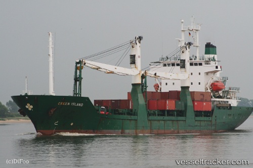
 AEGINA STAR
Current Status
Where is the vessel?
AEGINA STAR is currently in Near Akko, based on AIS data received about 13h ago.
Latest AIS update:
Current position: 32.89040° N, 35.00446° E (Near Akko)
Average speed (last 7 days): Loading…
Average speed (last 30 days): Loading…
Vessel profile: AEGINA STAR is a General Cargo with dimensions m x m.
This page combines live AIS, route history, probable destination signals, nearby traffic, and port activity for practical vessel monitoring.
The current position of vessel AEGINA STAR is 32.89040 lat / 35.00446 lng. Updated: 2026-05-14 08:02:55 UTCNearest reference points:
- Near Haifa
- 22 nm W of Haifa Granaries
- Near DBAIYEH
Currently sailing under the flag of Sao Tome and Principe ![]()
Details:
Live Vessel AEGINA STAR Analytics (details, animations, etc.)
Recent AIS points (UTC):
2026-05-14 08:02:55 UTC · 32.89040, 35.00446 · SOG 0.3 kn · COG 237°2026-05-14 08:02:55 UTC · 32.89040, 35.00446 · SOG 0.3 kn · COG 237°
2026-05-14 08:02:55 UTC · 32.89040, 35.00446 · SOG 0.3 kn · COG 237°
2026-05-14 08:02:55 UTC · 32.89040, 35.00446 · SOG 0.3 kn · COG 237°