 vesseltracker.com
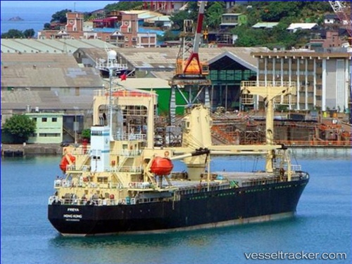
 GULF QUEEN
Current Status
Where is the vessel?
GULF QUEEN is currently in 108 nm NE of Kilifi, based on AIS data received about 2h ago.
Latest AIS update:
Current position: 2.19155° S, 40.93422° E (108 nm NE of Kilifi)
Average speed (last 7 days): Loading…
Average speed (last 30 days): Loading…
Vessel profile: GULF QUEEN is a General Cargo Ship with dimensions 19m x 98m.
This page combines live AIS, route history, probable destination signals, nearby traffic, and port activity for practical vessel monitoring.
The current position of vessel GULF QUEEN is -2.19155 lat / 40.93422 lng. Updated: 2026-05-15 11:06:28 UTCNearest reference points:
- 11 nm SE of Mombasa
- Near Mombasa
Currently sailing under the flag of Tanzania ![]()
GULF QUEEN built in 1994 year
Deadweight:
6965 tDetails:
Live Vessel GULF QUEEN Analytics (details, animations, etc.)
Recent AIS points (UTC):
2026-05-15 07:53:16 UTC · -2.18923, 40.93753 · SOG 1.8 kn · COG -1°2026-05-15 07:53:16 UTC · -2.18923, 40.93753 · SOG 1.8 kn · COG -1°
2026-05-15 10:05:51 UTC · -2.19153, 40.93423 · SOG 0 kn · COG -1°
2026-05-15 11:06:28 UTC · -2.19155, 40.93422 · SOG 0 kn · COG 143°