 vesseltracker.com
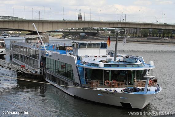
Monarch Queen
Current StatusWhere is the vessel?
Monarch Queen is currently in 46 nm NW of Saida, based on AIS data received less than 1h ago.
Latest AIS update:
Current position: 33.88105° N, 34.51251° E (46 nm NW of Saida)
Average speed (last 7 days): Loading…
Average speed (last 30 days): Loading…
Vessel profile: Monarch Queen is a Ro Ro Cargo Ship with dimensions 14m x 100m.
This page combines live AIS, route history, probable destination signals, nearby traffic, and port activity for practical vessel monitoring.
The current position of vessel Monarch Queen is 33.88105 lat / 34.51251 lng. Updated: 2026-05-01 05:49:09 UTCNearest reference points:
- 22 nm W of Haifa Granaries
- 31 nm SE of Vasilikos
- Near DBAIYEH
Details:
Live Vessel Monarch Queen Analytics (details, animations, etc.)
Recent AIS points (UTC):
2026-05-01 02:14:58 UTC · 34.26360, 34.91714 · SOG 8.4 kn · COG -1°2026-05-01 03:23:28 UTC · 34.13616, 34.80037 · SOG 8.5 kn · COG -1°
2026-05-01 05:02:48 UTC · 33.96269, 34.60577 · SOG 8.7 kn · COG -1°
2026-05-01 05:49:09 UTC · 33.88105, 34.51251 · SOG 8.3 kn · COG -1°