 vesseltracker.com
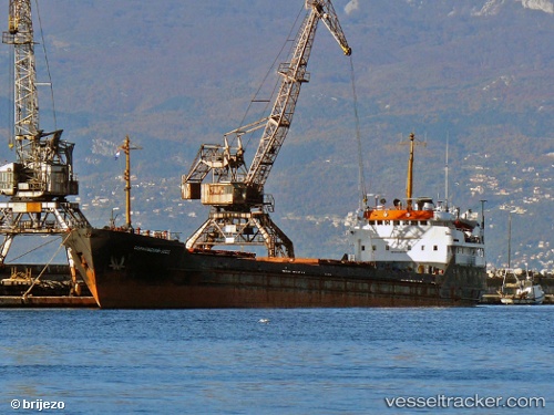
Belfast
Current StatusWhere is the vessel?
Belfast is currently in Near Nemrut Bay, based on AIS data received about 1h ago.
Latest AIS update:
Current position: 38.77116° N, 26.89088° E (Near Nemrut Bay)
Average speed (last 7 days): Loading…
Average speed (last 30 days): Loading…
Vessel profile: Belfast is a General Cargo Ship with dimensions 13m x 114m.
This page combines live AIS, route history, probable destination signals, nearby traffic, and port activity for practical vessel monitoring.
The current position of vessel Belfast is 38.77116 lat / 26.89088 lng. Updated: 2026-04-18 19:52:30 UTCNearest reference points:
- Near Nemrut Bay
- Near NEMRUT
- Near Aliaga
Details:
Live Vessel Belfast Analytics (details, animations, etc.)
Recent AIS points (UTC):
2026-04-18 13:58:28 UTC · 38.77129, 26.89072 · SOG 0 kn · COG 28°2026-04-18 16:25:30 UTC · 38.77142, 26.89031 · SOG 0.1 kn · COG 42°
2026-04-18 17:55:30 UTC · 38.77132, 26.89052 · SOG 0.2 kn · COG 32°
2026-04-18 19:52:30 UTC · 38.77116, 26.89088 · SOG 0.1 kn · COG 24°