 vesseltracker.com
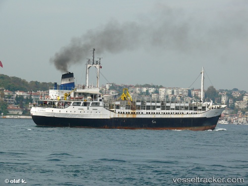
 AL MABROUKA 10
Current Status
Where is the vessel?
AL MABROUKA 10 is currently in Near Perim Island, based on AIS data received less than 1h ago.
Latest AIS update:
Current position: 12.53741° N, 43.43103° E (Near Perim Island)
Average speed (last 7 days): Loading…
Average speed (last 30 days): Loading…
Vessel profile: AL MABROUKA 10 is a Livestock Carrier with dimensions 12m x 77m.
This page combines live AIS, route history, probable destination signals, nearby traffic, and port activity for practical vessel monitoring.
The current position of vessel AL MABROUKA 10 is 12.53741 lat / 43.43103 lng. Updated: 2026-05-15 15:38:49 UTCNearest reference points:
- Near Djibouti
Currently sailing under the flag of Honduras ![]()
AL MABROUKA 10 built in 1968 year
Deadweight:
2610 tDetails:
Live Vessel AL MABROUKA 10 Analytics (details, animations, etc.)
Recent AIS points (UTC):
2026-05-15 11:20:01 UTC · 12.86500, 43.19833 · SOG 6 kn · COG -1°2026-05-15 13:33:39 UTC · 12.65611, 43.29135 · SOG 7 kn · COG -1°
2026-05-15 13:50:26 UTC · 12.63024, 43.30306 · SOG 5.4 kn · COG -1°
2026-05-15 15:38:49 UTC · 12.53741, 43.43103 · SOG 5.2 kn · COG -1°