 vesseltracker.com
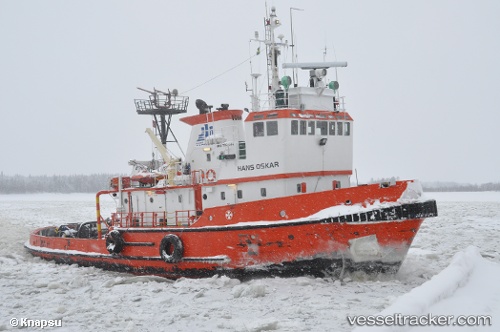
Baus
Current StatusWhere is the vessel?
Baus is currently in Near RONNSKAR, based on AIS data received less than 1h ago.
Latest AIS update:
Current position: 64.68007° N, 21.24362° E (Near RONNSKAR)
Average speed (last 7 days): Loading…
Average speed (last 30 days): Loading…
Vessel profile: Baus is a [tug.offshore_tug_supply] with dimensions 10m x 36m.
This page combines live AIS, route history, probable destination signals, nearby traffic, and port activity for practical vessel monitoring.
The current position of vessel Baus is 64.68007 lat / 21.24362 lng. Updated: 2026-05-14 00:09:25 UTCNearest reference points:
- 20 nm S of HOLMSUND
- Near Karlsborg Axelvik
Details:
Live Vessel Baus Analytics (details, animations, etc.)
Recent AIS points (UTC):
2026-05-13 20:15:26 UTC · 64.68013, 21.24366 · SOG 0 kn · COG -1°2026-05-13 21:33:26 UTC · 64.68010, 21.24364 · SOG 0 kn · COG -1°
2026-05-13 22:39:26 UTC · 64.68011, 21.24360 · SOG 0 kn · COG -1°
2026-05-14 00:09:25 UTC · 64.68007, 21.24362 · SOG 0 kn · COG -1°