 vesseltracker.com
 Carolina Coast
Current Status
Where is the vessel?
Carolina Coast is currently in Near Fort Buchanan, based on AIS data received less than 1h ago.
Latest AIS update:
Current position: 18.42936° N, 66.11012° W (Near Fort Buchanan)
Average speed (last 7 days): Loading…
Average speed (last 30 days): Loading…
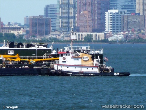
Vessel profile: Carolina Coast is a Tug with dimensions 37m x 10m.
This page combines live AIS, route history, probable destination signals, nearby traffic, and port activity for practical vessel monitoring.
The current position of vessel Carolina Coast is 18.42936 lat / -66.11012 lng. Updated: 2026-05-15 01:22:07 UTCNearest reference points:
- Near San Juan
- Near Roosevelt Roads
- Near Isabel Segunda
Currently sailing under the flag of USA ![]()
Carolina Coast built in 1970 year
Details:
Live Vessel Carolina Coast Analytics (details, animations, etc.)
Recent AIS points (UTC):
2026-05-14 21:23:36 UTC · 18.45157, -66.10490 · SOG 0.3 kn · COG 270°2026-05-14 22:03:46 UTC · 18.43019, -66.10975 · SOG 0.8 kn · COG 355°
2026-05-15 00:09:46 UTC · 18.42937, -66.11007 · SOG 0 kn · COG 352°
2026-05-15 01:22:07 UTC · 18.42936, -66.11012 · SOG 0 kn · COG 353°