 vesseltracker.com
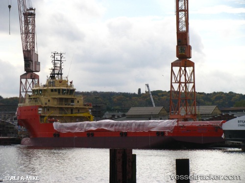
 ELAND
ELAND
Current Status
Where is the vessel?
ELAND is currently in 21 nm NE of Fluminense FPSO, based on AIS data received less than 1h ago.
Latest AIS update:
Current position: 22.48623° S, 40.07367° W (21 nm NE of Fluminense FPSO)
Average speed (last 7 days): Loading…
Average speed (last 30 days): Loading…
Vessel profile: ELAND is a Offshore Supply Ship with dimensions m x m.
This page combines live AIS, route history, probable destination signals, nearby traffic, and port activity for practical vessel monitoring.
The current position of vessel ELAND is -22.48623 lat / -40.07367 lng. Updated: 2026-05-01 18:29:07 UTCNearest reference points:
- Near Fluminense FPSO
- Near PORTO DO ACU
- 68 nm SE of Espírito Santo FPSO
Details:
Live Vessel ELAND Analytics (details, animations, etc.)
Recent AIS points (UTC):
2026-05-01 14:10:55 UTC · -22.48512, -40.07384 · SOG 0.1 kn · COG 31°2026-05-01 16:00:48 UTC · -22.48621, -40.07370 · SOG 0.1 kn · COG 31°
2026-05-01 16:19:26 UTC · -22.48620, -40.07370 · SOG 0 kn · COG 31°
2026-05-01 18:29:07 UTC · -22.48623, -40.07367 · SOG 0.2 kn · COG 31°