 vesseltracker.com
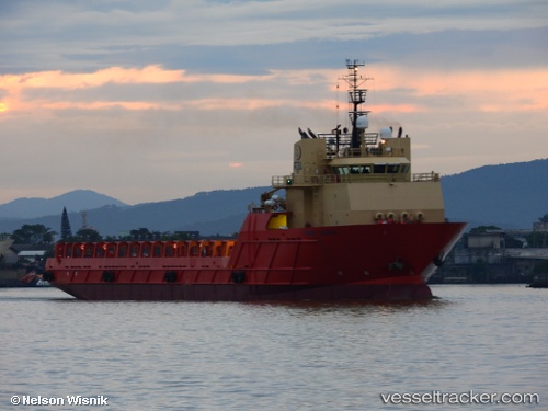
Bram Bahia
Current StatusWhere is the vessel?
Bram Bahia is currently in 18 nm E of Carapebus, based on AIS data received about 1h ago.
Latest AIS update:
Current position: 22.28716° S, 41.36141° W (18 nm E of Carapebus)
Average speed (last 7 days): Loading…
Average speed (last 30 days): Loading…
Vessel profile: Bram Bahia is a Offshore Tug Supply Ship with dimensions 19m x 103m.
This page combines live AIS, route history, probable destination signals, nearby traffic, and port activity for practical vessel monitoring.
The current position of vessel Bram Bahia is -22.28716 lat / -41.36141 lng. Updated: 2026-05-15 19:56:21 UTCNearest reference points:
- 24 nm SE of Carapebus
- Near PORTO DO ACU
- 47 nm E of Arraial do Cabo
Details:
Live Vessel Bram Bahia Analytics (details, animations, etc.)
Recent AIS points (UTC):
2026-05-15 16:18:09 UTC · -22.07662, -40.82843 · SOG 9.4 kn · COG 247°2026-05-15 18:21:37 UTC · -22.20833, -41.13833 · SOG 8 kn · COG -1°
2026-05-15 19:48:38 UTC · -22.28167, -41.34167 · SOG 8 kn · COG -1°
2026-05-15 19:56:21 UTC · -22.28716, -41.36141 · SOG 8.4 kn · COG 254°