 vesseltracker.com
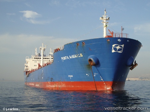
 BASTOS 1
Current Status
Where is the vessel?
BASTOS 1 is currently in Near Fortaleza, based on AIS data received about 1h ago.
Latest AIS update:
Current position: 3.65922° S, 38.42659° W (Near Fortaleza)
Average speed (last 7 days): Loading…
Average speed (last 30 days): Loading…
Vessel profile: BASTOS 1 is a Oil Products Tanker with dimensions m x m.
This page combines live AIS, route history, probable destination signals, nearby traffic, and port activity for practical vessel monitoring.
The current position of vessel BASTOS 1 is -3.65922 lat / -38.42659 lng. Updated: 2026-04-27 13:22:26 UTCNearest reference points:
- 28 nm N of Pecém Pt/São Gonçalo do Amarante
- 81 nm N of Acarau
Details:
Live Vessel BASTOS 1 Analytics (details, animations, etc.)
Recent AIS points (UTC):
2026-04-27 09:31:31 UTC · -3.65807, -38.42649 · SOG 1 kn · COG 109°2026-04-27 10:37:30 UTC · -3.65840, -38.42658 · SOG 0.2 kn · COG 100°
2026-04-27 11:49:35 UTC · -3.65835, -38.42658 · SOG 0.4 kn · COG 104°
2026-04-27 13:22:26 UTC · -3.65922, -38.42659 · SOG 0.2 kn · COG 75°