 vesseltracker.com
 Mavigator
Current Status
Where is the vessel?
Mavigator is currently in Near Cimdenieki, based on AIS data received about 1h ago.
Latest AIS update:
Current position: 56.54274° N, 21.04156° E (Near Cimdenieki)
Average speed (last 7 days): Loading…
Average speed (last 30 days): Loading…
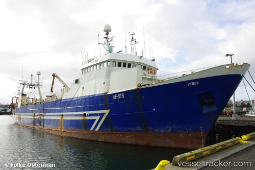
Vessel profile: Mavigator is a Fishing Vessel with dimensions 77m x 77m.
This page combines live AIS, route history, probable destination signals, nearby traffic, and port activity for practical vessel monitoring.
The current position of vessel Mavigator is 56.54274 lat / 21.04156 lng. Updated: 2026-04-27 16:31:50 UTCNearest reference points:
- Near Cimdenieki
- Near Klaipeda
- Near Ventspils
Currently sailing under the flag of Guinea-Bissau ![]()
Mavigator built in 1973 year
Deadweight:
793 tDetails:
Live Vessel Mavigator Analytics (details, animations, etc.)
Recent AIS points (UTC):
2026-04-27 11:25:53 UTC · 56.54275, 21.04160 · SOG 0.1 kn · COG -1°2026-04-27 14:04:52 UTC · 56.54272, 21.04150 · SOG 0 kn · COG -1°
2026-04-27 16:25:51 UTC · 56.54268, 21.04154 · SOG 0 kn · COG -1°
2026-04-27 16:31:50 UTC · 56.54274, 21.04156 · SOG 0 kn · COG -1°