 vesseltracker.com
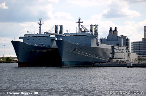
 Antares
Current Status
Where is the vessel?
Antares is currently in Near Buckner Bay, based on AIS data received less than 1h ago.
Latest AIS update:
Current position: 26.28660° N, 127.89542° E (Near Buckner Bay)
Average speed (last 7 days): Loading…
Average speed (last 30 days): Loading…
Vessel profile: Antares is a Vehicles Carrier with dimensions 290m x 32m.
This page combines live AIS, route history, probable destination signals, nearby traffic, and port activity for practical vessel monitoring.
The current position of vessel Antares is 26.28660 lat / 127.89542 lng. Updated: 2026-05-14 04:26:22 UTCNearest reference points:
- 18 nm W of Koniya
- 77 nm SE of Miyakojima
Currently sailing under the flag of USA ![]()
Antares built in 1972 year
Deadweight:
24601 tDetails:
Live Vessel Antares Analytics (details, animations, etc.)
Recent AIS points (UTC):
2026-05-14 01:43:34 UTC · 26.28712, 127.89573 · SOG 0.2 kn · COG 57°2026-05-14 01:50:19 UTC · 26.28708, 127.89582 · SOG 0.2 kn · COG 88°
2026-05-14 03:39:16 UTC · 26.28717, 127.89558 · SOG 0.3 kn · COG 56°
2026-05-14 04:26:22 UTC · 26.28660, 127.89542 · SOG 0.1 kn · COG 87°