 vesseltracker.com
Dona Mimi
Current StatusWhere is the vessel?
Dona Mimi is currently in 43 nm SE of Isla Guarello, based on AIS data received about 1h ago.
Latest AIS update:
Current position: 53.14211° S, 72.80571° W (43 nm SE of Isla Guarello)
Average speed (last 7 days): Loading…
Average speed (last 30 days): Loading…
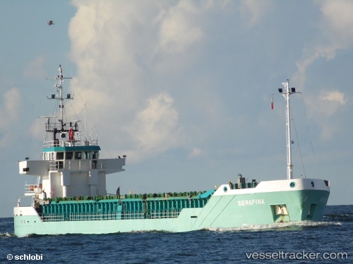
Vessel profile: Dona Mimi is a General Cargo Ship with dimensions 13m x 82m.
This page combines live AIS, route history, probable destination signals, nearby traffic, and port activity for practical vessel monitoring.
The current position of vessel Dona Mimi is -53.14211 lat / -72.80571 lng. Updated: 2026-04-24 19:53:31 UTCDetails:
Live Vessel Dona Mimi Analytics (details, animations, etc.)
Recent AIS points (UTC):
2026-04-24 16:44:23 UTC · -53.27634, -72.73838 · SOG 0 kn · COG 163°2026-04-24 18:12:43 UTC · -53.21698, -72.79951 · SOG 9.5 kn · COG 305°
2026-04-24 19:25:29 UTC · -53.14206, -72.80569 · SOG 0.2 kn · COG 357°
2026-04-24 19:53:31 UTC · -53.14211, -72.80571 · SOG 0.2 kn · COG 1°