 vesseltracker.com
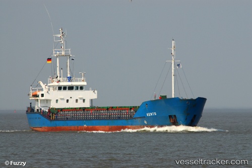
 ISLA TELLEZ
Current Status
Where is the vessel?
ISLA TELLEZ is currently in 21 nm N of Isla Guarello, based on AIS data received about 1h ago.
Latest AIS update:
Current position: 52.32155° S, 73.63973° W (21 nm N of Isla Guarello)
Average speed (last 7 days): Loading…
Average speed (last 30 days): Loading…
Vessel profile: ISLA TELLEZ is a General Cargo Ship with dimensions 12m x 81m.
This page combines live AIS, route history, probable destination signals, nearby traffic, and port activity for practical vessel monitoring.
The current position of vessel ISLA TELLEZ is -52.32155 lat / -73.63973 lng. Updated: 2026-05-14 19:46:24 UTCCurrently sailing under the flag of Chile ![]()
ISLA TELLEZ built in 1994 year
Deadweight:
2300 tDetails:
Live Vessel ISLA TELLEZ Analytics (details, animations, etc.)
Recent AIS points (UTC):
2026-05-14 16:45:15 UTC · -52.09482, -73.50660 · SOG 8.5 kn · COG 298°2026-05-14 18:04:06 UTC · -52.06101, -73.74242 · SOG 10.6 kn · COG 168°
2026-05-14 19:27:24 UTC · -52.27602, -73.65528 · SOG 9.9 kn · COG 215°
2026-05-14 19:46:24 UTC · -52.32155, -73.63973 · SOG 9 kn · COG 155°