 vesseltracker.com
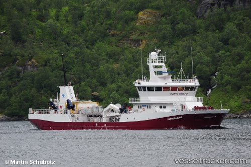
 GRIP NORD
Current Status
Where is the vessel?
GRIP NORD is currently in Near Calbuco, based on AIS data received about 2h ago.
Latest AIS update:
Current position: 41.72108° S, 72.99369° W (Near Calbuco)
Average speed (last 7 days): Loading…
Average speed (last 30 days): Loading…
Vessel profile: GRIP NORD is a Cargo with dimensions m x m.
This page combines live AIS, route history, probable destination signals, nearby traffic, and port activity for practical vessel monitoring.
The current position of vessel GRIP NORD is -41.72108 lat / -72.99369 lng. Updated: 2026-05-02 17:10:51 UTCNearest reference points:
- Near Puerto Montt
- Near Chonchi
- Near Quellón (Puerto Quellón)
Details:
Live Vessel GRIP NORD Analytics (details, animations, etc.)
Recent AIS points (UTC):
2026-05-02 13:34:53 UTC · -41.72111, -72.99367 · SOG 0 kn · COG 336°2026-05-02 15:55:53 UTC · -41.72107, -72.99364 · SOG 0 kn · COG 336°
2026-05-02 16:25:54 UTC · -41.72111, -72.99362 · SOG 0 kn · COG 336°
2026-05-02 17:10:51 UTC · -41.72108, -72.99369 · SOG 0 kn · COG 335°