 vesseltracker.com
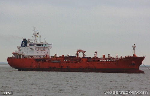
 LAMA
LAMA
Current Status
Where is the vessel?
LAMA is currently in Near PUERTO CHACABUCO, based on AIS data received less than 1h ago.
Latest AIS update:
Current position: 45.46167° S, 72.82500° W (Near PUERTO CHACABUCO)
Average speed (last 7 days): Loading…
Average speed (last 30 days): Loading…
Vessel profile: LAMA is a Oil/Chemical Tanker with dimensions m x m.
This page combines live AIS, route history, probable destination signals, nearby traffic, and port activity for practical vessel monitoring.
The current position of vessel LAMA is -45.46167 lat / -72.82500 lng. Updated: 2026-05-14 21:47:41 UTCNearest reference points:
- 68 nm W of Puerto Chacabuco
- Near Melinka
- Near Quellón (Puerto Quellón)
Details:
Live Vessel LAMA Analytics (details, animations, etc.)
Recent AIS points (UTC):
2026-05-14 18:02:38 UTC · -45.46167, -72.82500 · SOG 0 kn · COG -1°2026-05-14 18:50:39 UTC · -45.46167, -72.82500 · SOG 0 kn · COG -1°
2026-05-14 19:38:39 UTC · -45.46167, -72.82500 · SOG 0 kn · COG -1°
2026-05-14 21:47:41 UTC · -45.46167, -72.82500 · SOG 0 kn · COG -1°