 vesseltracker.com
 Seabridge
Current Status
Where is the vessel?
Seabridge is currently in Near Trabzon, based on AIS data received about 2h ago.
Latest AIS update:
Current position: 41.00725° N, 39.73855° E (Near Trabzon)
Average speed (last 7 days): Loading…
Average speed (last 30 days): Loading…
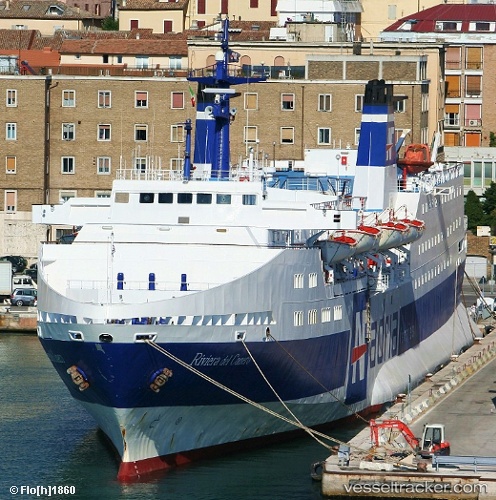
Vessel profile: Seabridge is a Passenger Ro Ro Cargo Ship with dimensions 125m x 125m.
This page combines live AIS, route history, probable destination signals, nearby traffic, and port activity for practical vessel monitoring.
The current position of vessel Seabridge is 41.00725 lat / 39.73855 lng. Updated: 2026-05-15 01:01:02 UTCNearest reference points:
- Near Rize
- 31 nm N of Pazar
- Near Hopa
Currently sailing under the flag of Cameroon ![]()
Seabridge built in 1974 year
Deadweight:
2254 tDetails:
Live Vessel Seabridge Analytics (details, animations, etc.)
Recent AIS points (UTC):
2026-05-14 21:37:02 UTC · 41.00728, 39.73850 · SOG 0 kn · COG 112°2026-05-14 22:40:57 UTC · 41.00725, 39.73851 · SOG 0 kn · COG 111°
2026-05-15 00:01:02 UTC · 41.00727, 39.73854 · SOG 0 kn · COG 111°
2026-05-15 01:01:02 UTC · 41.00725, 39.73855 · SOG 0 kn · COG 111°