 vesseltracker.com
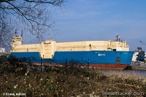
 MEGA
MEGA
Current Status
Where is the vessel?
MEGA is currently in 24 nm SW of Everton, based on AIS data received less than 1h ago.
Latest AIS update:
Current position: 6.59441° N, 58.57717° W (24 nm SW of Everton)
Average speed (last 7 days): Loading…
Average speed (last 30 days): Loading…
Vessel profile: MEGA is a Articulated Pusher Tug with dimensions m x m.
This page combines live AIS, route history, probable destination signals, nearby traffic, and port activity for practical vessel monitoring.
The current position of vessel MEGA is 6.59441 lat / -58.57717 lng. Updated: 2026-05-15 01:20:32 UTCNearest reference points:
- 57 nm NE of Adventure
Currently sailing under the flag of Saint Kitts and Nevis ![]()
Details:
Live Vessel MEGA Analytics (details, animations, etc.)
Recent AIS points (UTC):
2026-05-14 21:19:34 UTC · 6.59225, -58.57812 · SOG 0 kn · COG -1°2026-05-14 22:01:30 UTC · 6.59436, -58.57769 · SOG 0 kn · COG -1°
2026-05-15 00:05:17 UTC · 6.59441, -58.57720 · SOG 0 kn · COG -1°
2026-05-15 01:20:32 UTC · 6.59441, -58.57717 · SOG 0 kn · COG -1°