 vesseltracker.com
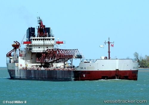
Manitowoc
Current StatusWhere is the vessel?
Manitowoc is currently in 16 nm W of De Tour Village, based on AIS data received about 1h ago.
Latest AIS update:
Current position: 45.98302° N, 84.27569° W (16 nm W of De Tour Village)
Average speed (last 7 days): Loading…
Average speed (last 30 days): Loading…
Vessel profile: Manitowoc is a Self Discharging Bulk Carrier with dimensions 23m x 192m.
This page combines live AIS, route history, probable destination signals, nearby traffic, and port activity for practical vessel monitoring.
The current position of vessel Manitowoc is 45.98302 lat / -84.27569 lng. Updated: 2026-05-14 23:34:02 UTCNearest reference points:
- Near Mackinaw City
- Near Meldrum
- Near Pentwater
Details:
Live Vessel Manitowoc Analytics (details, animations, etc.)
Recent AIS points (UTC):
2026-05-14 19:46:52 UTC · 45.85961, -84.11889 · SOG 12.3 kn · COG 314°2026-05-14 21:50:22 UTC · 45.98322, -84.27604 · SOG 0 kn · COG 124°
2026-05-14 23:09:56 UTC · 45.98303, -84.27568 · SOG 0 kn · COG 123°
2026-05-14 23:34:02 UTC · 45.98302, -84.27569 · SOG 0 kn · COG 123°