 vesseltracker.com
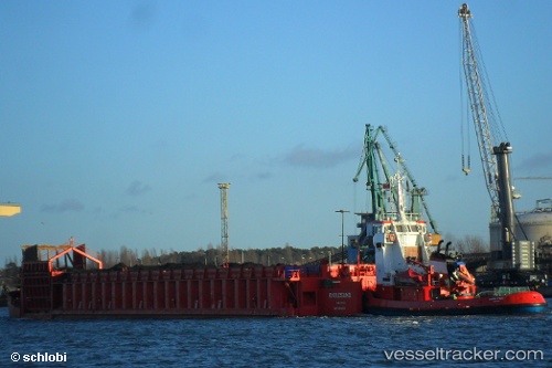
 M/Y LADY AMALIA II
Current Status
Where is the vessel?
M/Y LADY AMALIA II is currently in Near Limassol, based on AIS data received about 3d ago.
Latest AIS update:
Current position: 34.66762° N, 33.04208° E (Near Limassol)
Average speed (last 7 days): Loading…
Average speed (last 30 days): Loading…
Vessel profile: M/Y LADY AMALIA II is a Articulated Pusher Tug with dimensions m x m.
This page combines live AIS, route history, probable destination signals, nearby traffic, and port activity for practical vessel monitoring.
The current position of vessel M/Y LADY AMALIA II is 34.66762 lat / 33.04208 lng. Updated: 2026-05-10 13:30:50 UTCNearest reference points:
- Near Limassol
- 17 nm S of Vasilikos
- 11 nm SE of Paphos
Currently sailing under the flag of Cyprus ![]()
Details:
Live Vessel M/Y LADY AMALIA II Analytics (details, animations, etc.)
Recent AIS points (UTC):
2026-05-10 13:30:50 UTC · 34.66762, 33.04208 · SOG 0 kn · COG -1°2026-05-10 13:30:50 UTC · 34.66762, 33.04208 · SOG 0 kn · COG -1°
2026-05-10 13:30:50 UTC · 34.66762, 33.04208 · SOG 0 kn · COG -1°
2026-05-10 13:30:50 UTC · 34.66762, 33.04208 · SOG 0 kn · COG -1°