 vesseltracker.com
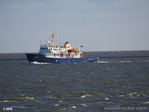
 BALTO
BALTO
Current Status
Where is the vessel?
BALTO is currently in Near Godthab, based on AIS data received less than 1h ago.
Latest AIS update:
Current position: 64.16479° N, 51.70276° W (Near Godthab)
Average speed (last 7 days): Loading…
Average speed (last 30 days): Loading…
Vessel profile: BALTO is a Research/Survey Vessel with dimensions m x m.
This page combines live AIS, route history, probable destination signals, nearby traffic, and port activity for practical vessel monitoring.
The current position of vessel BALTO is 64.16479 lat / -51.70276 lng. Updated: 2026-05-15 07:54:52 UTCNearest reference points:
- Near Godthab
Currently sailing under the flag of Panama ![]()
Details:
Live Vessel BALTO Analytics (details, animations, etc.)
Recent AIS points (UTC):
2026-05-15 04:22:40 UTC · 64.16487, -51.70278 · SOG 0.2 kn · COG 234°2026-05-15 05:38:16 UTC · 64.16467, -51.70250 · SOG 0 kn · COG 215°
2026-05-15 07:34:57 UTC · 64.16477, -51.70260 · SOG 0 kn · COG 251°
2026-05-15 07:54:52 UTC · 64.16479, -51.70276 · SOG 0 kn · COG 235°