 vesseltracker.com
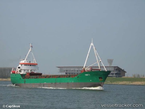
Aegir
Current StatusWhere is the vessel?
Aegir is currently in Near Puerto Montt, based on AIS data received less than 1h ago.
Latest AIS update:
Current position: 41.51772° S, 73.03275° W (Near Puerto Montt)
Average speed (last 7 days): Loading…
Average speed (last 30 days): Loading…
Vessel profile: Aegir is a General Cargo Ship with dimensions 10m x 63m.
This page combines live AIS, route history, probable destination signals, nearby traffic, and port activity for practical vessel monitoring.
The current position of vessel Aegir is -41.51772 lat / -73.03275 lng. Updated: 2026-05-15 10:55:50 UTCNearest reference points:
- Near Puerto Montt
- Near Chonchi
- Near Quellón (Puerto Quellón)
Details:
Live Vessel Aegir Analytics (details, animations, etc.)
Recent AIS points (UTC):
2026-05-15 07:17:00 UTC · -41.51777, -73.03271 · SOG 0 kn · COG 324°2026-05-15 08:07:49 UTC · -41.51772, -73.03271 · SOG 0 kn · COG 324°
2026-05-15 09:46:58 UTC · -41.51773, -73.03271 · SOG 0 kn · COG 325°
2026-05-15 10:55:50 UTC · -41.51772, -73.03275 · SOG 0 kn · COG 324°