 vesseltracker.com
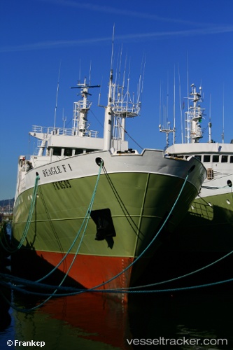
Beagle Fi
Current StatusWhere is the vessel?
Beagle Fi is currently in 160 nm N of Port San Carlos, based on AIS data received less than 1h ago.
Latest AIS update:
Current position: 48.96333° S, 57.70833° W (160 nm N of Port San Carlos)
Average speed (last 7 days): Loading…
Average speed (last 30 days): Loading…
Vessel profile: Beagle Fi is a Fishing Vessel with dimensions 14m x 101m.
This page combines live AIS, route history, probable destination signals, nearby traffic, and port activity for practical vessel monitoring.
The current position of vessel Beagle Fi is -48.96333 lat / -57.70833 lng. Updated: 2026-04-30 17:53:27 UTCDetails:
Live Vessel Beagle Fi Analytics (details, animations, etc.)
Recent AIS points (UTC):
2026-04-30 13:38:24 UTC · -49.79130, -57.47128 · SOG 11.5 kn · COG 346°2026-04-30 15:29:48 UTC · -49.42953, -57.57267 · SOG 11.8 kn · COG 345°
2026-04-30 16:17:26 UTC · -49.27667, -57.61667 · SOG 11 kn · COG -1°
2026-04-30 17:53:27 UTC · -48.96333, -57.70833 · SOG 11 kn · COG -1°