 vesseltracker.com
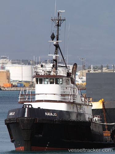
 NAVAJO
Current Status
Where is the vessel?
NAVAJO is currently in Near Vancouver, based on AIS data received about 1h ago.
Latest AIS update:
Current position: 45.61207° N, 122.64590° W (Near Vancouver)
Average speed (last 7 days): Loading…
Average speed (last 30 days): Loading…
Vessel profile: NAVAJO is a Tug with dimensions m x m.
This page combines live AIS, route history, probable destination signals, nearby traffic, and port activity for practical vessel monitoring.
The current position of vessel NAVAJO is 45.61207 lat / -122.64590 lng. Updated: 2026-05-13 20:12:35 UTCNearest reference points:
- Near Linnton
- Near LONGVIEW
- Near Astoria
Currently sailing under the flag of United States ![]()
Details:
Live Vessel NAVAJO Analytics (details, animations, etc.)
Recent AIS points (UTC):
2026-05-13 18:05:25 UTC · 45.55037, -122.70464 · SOG 0 kn · COG 117°2026-05-13 19:24:55 UTC · 45.63768, -122.71712 · SOG 8.6 kn · COG 116°
2026-05-13 20:10:25 UTC · 45.61208, -122.64588 · SOG 0 kn · COG 116°
2026-05-13 20:12:35 UTC · 45.61207, -122.64590 · SOG 0 kn · COG 117°