 vesseltracker.com
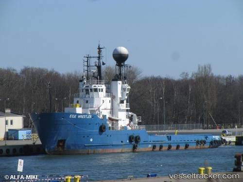
Polar Explorer
Current StatusWhere is the vessel?
Polar Explorer is currently in Near Karlsborg Axelvik, based on AIS data received about 1h ago.
Latest AIS update:
Current position: 65.76918° N, 23.36686° E (Near Karlsborg Axelvik)
Average speed (last 7 days): Loading…
Average speed (last 30 days): Loading…
Vessel profile: Polar Explorer is a Offshore Tug Supply Ship with dimensions 14m x 78m.
This page combines live AIS, route history, probable destination signals, nearby traffic, and port activity for practical vessel monitoring.
The current position of vessel Polar Explorer is 65.76918 lat / 23.36686 lng. Updated: 2026-05-15 11:41:24 UTCNearest reference points:
- Near Karlsborg Axelvik
Details:
Live Vessel Polar Explorer Analytics (details, animations, etc.)
Recent AIS points (UTC):
2026-05-15 07:50:23 UTC · 65.76912, 23.36691 · SOG 0 kn · COG 160°2026-05-15 09:38:27 UTC · 65.76914, 23.36691 · SOG 0 kn · COG 160°
2026-05-15 10:29:27 UTC · 65.76915, 23.36686 · SOG 0 kn · COG 160°
2026-05-15 11:41:24 UTC · 65.76918, 23.36686 · SOG 0 kn · COG 160°