 vesseltracker.com
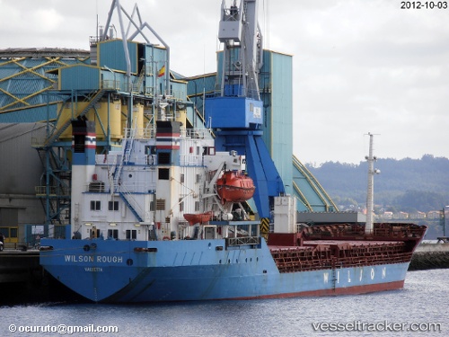
 DANIA
DANIA
Current Status
Where is the vessel?
DANIA is currently in Near Al Ladhiqiyah, based on AIS data received less than 1h ago.
Latest AIS update:
Current position: 35.51408° N, 35.76590° E (Near Al Ladhiqiyah)
Average speed (last 7 days): Loading…
Average speed (last 30 days): Loading…
Vessel profile: DANIA is a Bulk Carrier with dimensions m x m.
This page combines live AIS, route history, probable destination signals, nearby traffic, and port activity for practical vessel monitoring.
The current position of vessel DANIA is 35.51408 lat / 35.76590 lng. Updated: 2026-05-14 12:15:45 UTCNearest reference points:
- Near Al Ladhiqiyah
- Near Al Latakia
- Near Tartous
Currently sailing under the flag of Saint Kitts and Nevis ![]()
Details:
Live Vessel DANIA Analytics (details, animations, etc.)
Recent AIS points (UTC):
2026-05-14 07:24:31 UTC · 35.52607, 35.73130 · SOG 0.2 kn · COG -1°2026-05-14 09:33:30 UTC · 35.52606, 35.73147 · SOG 0.2 kn · COG -1°
2026-05-14 10:06:31 UTC · 35.52602, 35.73157 · SOG 0.1 kn · COG -1°
2026-05-14 12:15:45 UTC · 35.51408, 35.76590 · SOG 0 kn · COG -1°