 vesseltracker.com
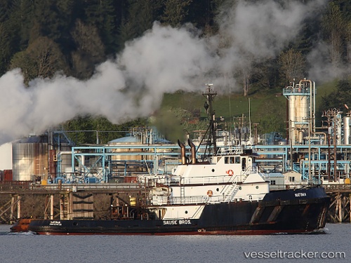
Natoma
Current StatusWhere is the vessel?
Natoma is currently in Near Honolulu, based on AIS data received less than 1h ago.
Latest AIS update:
Current position: 21.31002° N, 157.87091° W (Near Honolulu)
Average speed (last 7 days): Loading…
Average speed (last 30 days): Loading…
Vessel profile: Natoma is a Tug with dimensions 11m x 40m.
This page combines live AIS, route history, probable destination signals, nearby traffic, and port activity for practical vessel monitoring.
The current position of vessel Natoma is 21.31002 lat / -157.87091 lng. Updated: 2026-05-14 04:47:05 UTCNearest reference points:
- Near Honolulu
- Near Kaunakakai
- 132 nm SW of Barbers Point
Details:
Live Vessel Natoma Analytics (details, animations, etc.)
Recent AIS points (UTC):
2026-05-14 01:13:52 UTC · 21.31149, -157.87440 · SOG 0 kn · COG 303°2026-05-14 02:25:49 UTC · 21.31147, -157.87444 · SOG 0 kn · COG 303°
2026-05-14 03:32:55 UTC · 21.30869, -157.86870 · SOG 2.1 kn · COG 73°
2026-05-14 04:47:05 UTC · 21.31002, -157.87091 · SOG 0 kn · COG 123°